08 Jun 2012
Landscape Features At Cedars Park, Cheshunt, May 5th-7th 2012
Excavations investigated four areas along a partly surviving and partly buried landscape feature, also known from map evidence. The feature was speculated to be a water supply course linked to ornamental canals in the 17thC gardens of Theobalds Palace. However, it was established that it was in fact a late 18th/early 19thC ornamental water filled channel, probably partly re-cut as a gravel quarry boundary in the 20thC.
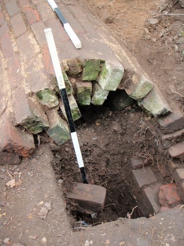
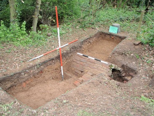
Double brick skin of vaulted culvert supported farm carts using the field entrance
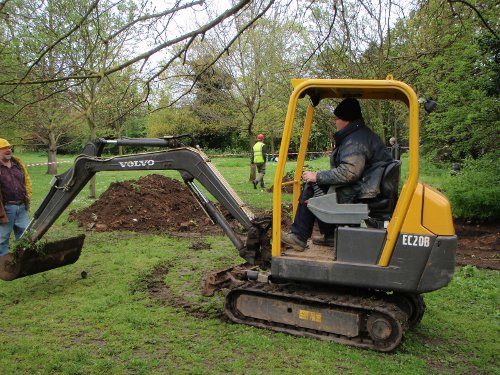
Dr. Dearne shares a joke with the mini-digger driver...
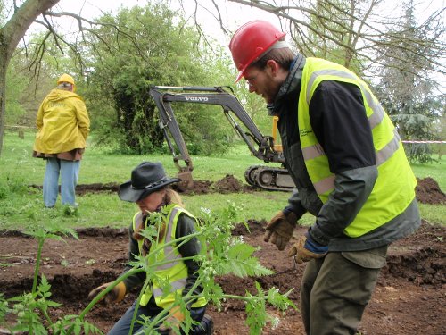
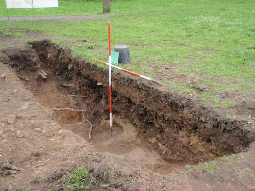
...as sectioning the ditch begins
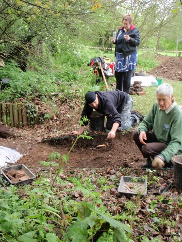
Excavation of the brick culvert gets underway.
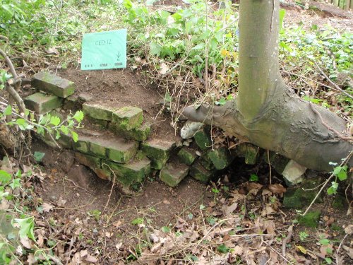
Brickwork revetment to the north end of the culvert was still in-situ.
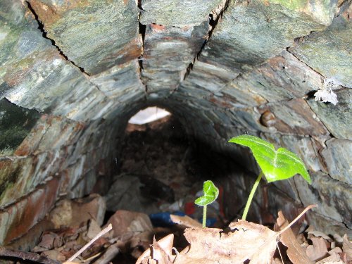
Inside, the culvert was still intact.
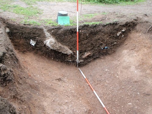
The south section of the ditch feature had been widened, probably to form a boundary to later 20thC gravel quarry working.
The north part of the ditch cut was backfilled by 20thC refuse.
The brick culvert was completely excavated and recorded.